The Department of the Interior, the Council on Environmental Quality, the Department of Agriculture, and the National Oceanic Atmospheric Administration want to create an American Conservation and Stewardship Atlas to inform the public on the conservation actions in the U.S. These departments and agencies are asking for your input on these questions:
- Science and Data. What data sources, standards, and technical approaches should be applied to data included in the Atlas to ensure that it is an authoritative and useful tool for the public?
- Conservation as a Continuum. How can the Atlas reflect the meaningful conservation work already underway in America?
- What stewardship actions should be considered, in addition to permanent protections, to capture a more complete picture of conservation and restoration in America?
- What are the attributes of lands and waters that should be included in the Atlas?
- How can the Atlas best reflect the contributions of State, local, Tribal, territorial, and private lands?
- Outcomes. How can the Atlas best reflect land and water contributions to biodiversity, climate change mitigation and resilience, and equitable access to nature and its benefits?
Friends of the Clearwater submitted a comment, which you can read hereFOC comments_Conservation Atlas Mar 7_2021.
In our comment, we provided the following FOC reports:

* Our Old Growth Report, which explains the importance of old growth, why old growth needs ecological functions over long amounts of time to develop, and how the Forest Service has tried to change the definition of “old growth” in recent years to facilitate logging it.
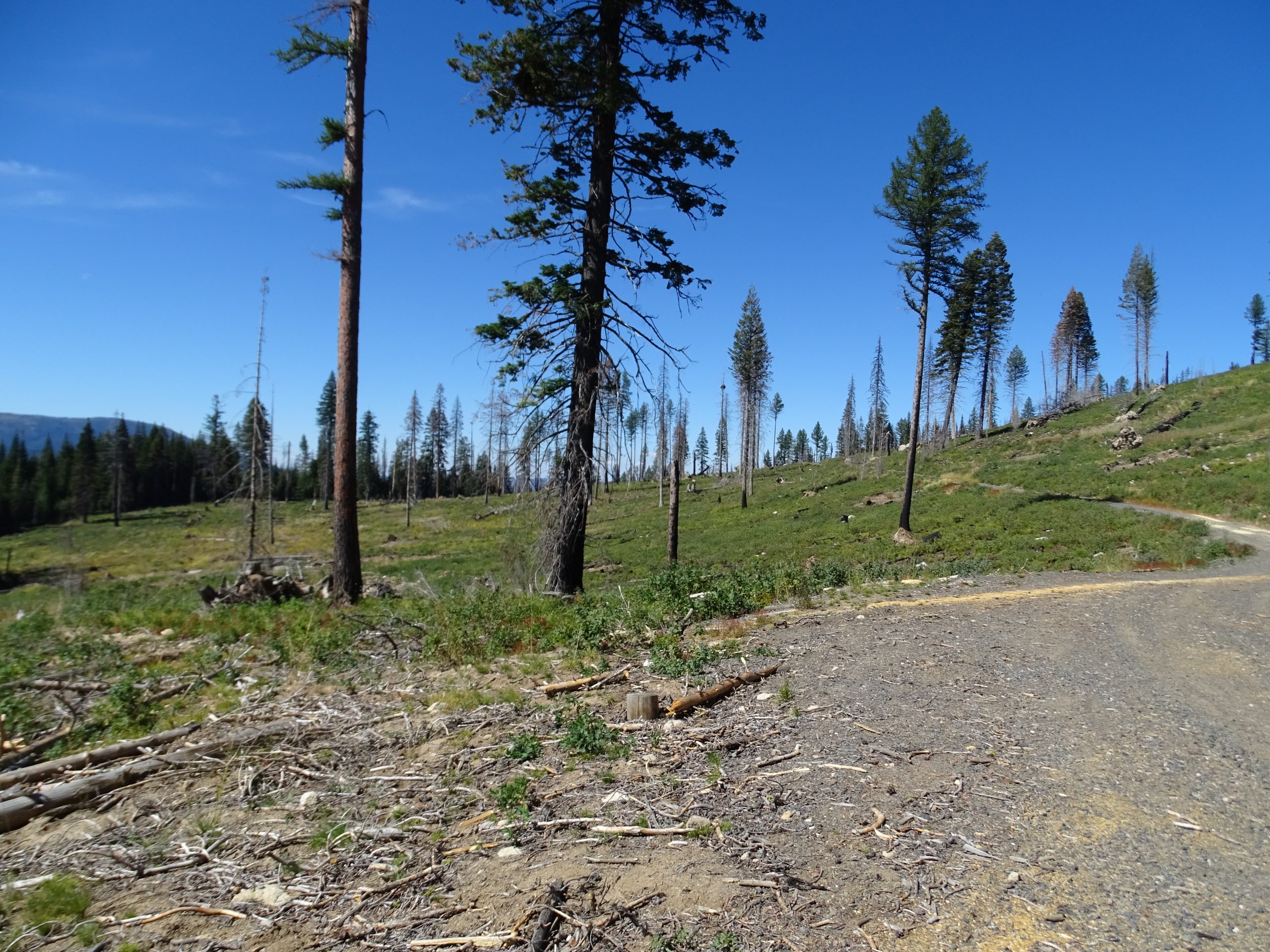
* Our Roadless Report, which found inventoried roadless areas vulnerable to logging. (In Idaho, the Forest Service has either approved or is considering logging in over 86,000 acres of our nation’s inventoried roadless areas!)
* Our Clearcut Kings Report, which found that the Northern Region of the Forest Service (Region 1) rubber stamps requests from national forests to let loggers cut supersized clearcuts on national forests, including within inventoried roadless areas and documented old growth.
The most useful informational map will explicitly and fairly define the terms “restoration” and “conservation,” will educate where the vulnerable public lands are, and will record where on public lands the government is undermining conservation efforts by how it is managing them.
The Department only wants comments online, so we can’t provide a comment box here like we would normally would. To comment, please visit the Federal Register to comment here. We encourage you to take the below points we plan to submit and personalize them.
POINTS WE ASKED FOLKS TO RAISE:
* “Conservation” and “restoration” should not include logging or grazing. The Forest Service approves projects that would log 7,000 acres, with 5,000 of those acres logging like clearcuts, and gives these projects names like the “Hungry Ridge Restoration Project.” Logging should not be considered “conservation” or “restoration.” Also, because old growth develops over a great amount of time and with ecological disturbances—not human ones—the Forest Service can’t “restore” old growth by allowing cutting in these areas. Nature restores old growth, but we can give nature the time and space to do this work.
* The most useful map will delineate the vulnerable public lands from the protected public lands. For example, public lands designated as Wilderness under the 1964 Wilderness Act allows ecosystems space to function and prohibits development. Areas such as old growth and inventoried roadless areas are still at risk of development.
* The most useful map will outline detrimental grazing impacts on all public lands. Grazing is antithetical to conservation and restoration. The only benefit is when the grazing stops and lands recover. The concept of prescribing grazing for public lands is like a doctor prescribing sugar for your diet.
* The most useful map will also disclose public-land management that undermines the U.S.’s conservation efforts. Decommissioning 50 miles of road is terrific, but it has more context when the public knows that, for every mile of road the Forest Service has decommissioned in a national forest, it has built three more miles of temporary or permanent roads there. And temporary roads should be counted because they disturb lands for at least a generation.
The comment period closed on Monday, March 7, 2022.
Thank you to all who joined us in holding our government accountable to honesty and transparency on conservation issues!